
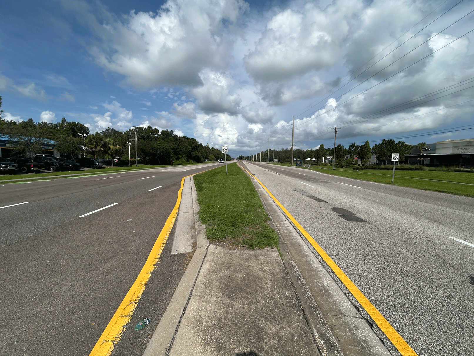
Civil engineering has always been a discipline that demands precision. A miscalculation in a drainage design, a poorly coordinated traffic control plan, or a misread infrastructure layout doesn’t just cost money, it can cost time, safety, and public trust. For decades, engineers worked from 2D drawings: flat, technical, and often difficult for non-engineers to interpret.
That’s changing fast. 3D modeling in civil engineering has moved from a niche capability to an essential part of modern project delivery. From roadway design and stormwater management to transportation planning and infrastructure development, three-dimensional models are helping engineering teams catch problems earlier, collaborate more effectively, and build with greater confidence.
For communities across Tampa, Florida, and beyond, this shift matters. Transportation systems are the backbone of how people live and move. Getting the design right, the first time, has real consequences for public safety, project budgets, and long-term infrastructure performance. This post breaks down exactly how 3D modeling is reshaping civil engineering project design, and why it’s becoming a standard expectation for firms working on FDOT and municipal projects alike.
What Is 3D Modeling in Civil Engineering?
3D modeling refers to the creation of digital, three-dimensional representations of civil engineering projects, roads, bridges, drainage systems, stormwater infrastructure, and more. Unlike traditional 2D drawings, which show plans from a flat, top-down perspective, 3D models allow engineers, clients, and stakeholders to view a design from every angle and in full spatial context.
Modern 3D civil engineering models are built using software platforms that integrate survey data, geographic information, material specifications, and design parameters into a single, coordinated file. The result is a detailed digital replica of what the finished project will look like, and how it will function, before a single piece of equipment hits the ground.
At Bayer United, 3D modeling civil engineering capabilities are embedded into the firm’s workflow across transportation, drainage, stormwater, and infrastructure projects. Rather than treating visualization as an add-on, Bayer United uses 3D modeling as a core design and coordination tool.
How Does 3D Modeling Improve Transportation Engineering Projects?
What are the design accuracy benefits of 3D modeling for roadway projects?
One of the most significant advantages of 3D modeling is the improvement in design accuracy. Roadway design involves a complex interplay of geometry, grade, drainage, sight lines, lane configurations, and safety features. When all of these elements are built into a 3D environment, conflicts and errors that might go unnoticed in a 2D plan become immediately visible.
For transportation engineering in Tampa, Florida, where road networks intersect with waterways, utility corridors, and dense development, this level of spatial clarity is especially valuable. Bayer United’s engineering team can identify potential grading issues, drainage conflicts, or alignment problems during the design phase, well before those issues become costly field changes during construction.
How does 3D modeling support better collaboration between project stakeholders?
Civil engineering projects rarely involve just one party. FDOT projects, municipal infrastructure improvements, and private development work all require coordination between engineers, contractors, public agencies, utility providers, and community stakeholders. 3D models make that coordination far more effective.
A detailed three-dimensional model gives every stakeholder, regardless of their technical background, a clear picture of what is being built, where, and why. Clients who might struggle to interpret a technical 2D plan can review a 3D model and offer meaningful input. Contractors can use the model to plan construction sequencing. Reviewers can assess designs more efficiently, which can accelerate approvals.
For firms providing transportation engineering services in Tampa and working on FDOT projects, faster reviews and fewer revision cycles translate directly to more efficient project delivery.
What Role Does 3D Modeling Play in Drainage and Stormwater Engineering?
Drainage and stormwater management are two of the most technically demanding areas of civil engineering, and two of the areas where 3D modeling delivers the clearest benefits.
Drainage engineering in Tampa requires a thorough understanding of existing topography, soil conditions, water flow patterns, and downstream impacts. When engineers design drainage systems using 3D models, they can simulate how water will move through a site under different conditions, heavy rainfall, existing infrastructure constraints, or future development scenarios.
Stormwater engineering in Tampa benefits similarly. Effective stormwater planning involves managing runoff from roads, parking areas, and developed land to reduce flooding risk and protect surrounding environments. 3D modeling allows engineers to test and refine stormwater solutions digitally, optimizing the design before committing to construction.
For communities that depend on reliable drainage infrastructure, this kind of pre-construction analysis can make a meaningful difference in long-term performance.
How Is 3D Modeling Changing Infrastructure Planning in Florida?
Does 3D modeling help with infrastructure engineering project delivery?
Florida’s infrastructure needs are significant and growing. Population growth, aging road networks, and increasing weather-related stress on transportation systems all put pressure on engineering firms and public agencies to plan and build smarter.
Infrastructure engineering in Tampa and across Florida increasingly relies on 3D modeling to support more effective planning. When infrastructure systems, roads, bridges, drainage networks, utility corridors, are modeled in three dimensions, planners can assess how different components interact, identify bottlenecks or vulnerabilities, and develop phased improvement strategies that account for future growth.
Bayer United’s infrastructure engineering work uses this approach to help clients plan and maintain dependable systems that serve communities over the long term, rather than simply addressing immediate needs in isolation.
How does 3D modeling support traffic control engineering and work-zone safety?
Traffic control engineering during construction is a safety-critical discipline. Work zones must be carefully designed to maintain safe, efficient movement for drivers, pedestrians, and construction workers alike. Poor traffic control planning can lead to accidents, project delays, and public frustration.
3D modeling supports traffic control engineering in Tampa by allowing engineers to visualize work-zone configurations in context. How will a lane closure affect traffic flow at a nearby intersection? Will a temporary detour route accommodate the vehicle types expected? How does the work-zone geometry interact with sight-line requirements or pedestrian crossings?
By working through these questions in a 3D environment, engineers can develop more practical, safety-focused traffic control solutions, and communicate those solutions more clearly to contractors and reviewing agencies.
What Are the Key Benefits of 3D Modeling for Civil Engineering Firms?
The advantages of 3D modeling extend beyond individual project outcomes. For civil engineer consultants working across multiple projects and client types, the capability reshapes how work gets done at a fundamental level.
Earlier issue detection. Problems identified during design cost far less to fix than problems discovered during construction. 3D modeling gives engineering teams a much clearer view of potential conflicts early in the process.
Stronger client communication. Not every client has an engineering background. 3D models make complex designs accessible and understandable, which supports better decision-making and stronger client relationships.
More efficient coordination. When all project disciplines, roadway, drainage, stormwater, utilities, are coordinated within a shared 3D environment, the risk of conflicting designs or missed coordination drops significantly.
Faster regulatory review. Reviewers at FDOT and local agencies can assess 3D models more efficiently than traditional 2D drawings, which can reduce review times and keep projects moving forward.
How Transportation Engineers Improve Safety at Busy Florida Intersectionstter construction outcomes. Contractors working from detailed 3D models have a clearer picture of what’s expected, which supports more accurate material takeoffs, improved construction planning, and fewer requests for information during the build.
Why Is 3D Modeling Becoming Standard Practice for FDOT Projects?
FDOT’s Small Business Program reflects a broader commitment to making Florida’s transportation infrastructure better through competitive, capable, and diverse engineering partnerships. As this program expands, engineering firms that offer advanced technical capabilities, including 3D modeling, are better positioned to support FDOT project requirements and deliver outcomes that meet the agency’s high standards.
Bayer United is eager to partner with firms seeking a dependable transportation engineering firm for FDOT projects. The team’s 3D modeling civil engineering capabilities, combined with a track record of responsive service, practical problem-solving, and accurate project administration, make Bayer United a strong small business partner for transportation and infrastructure work across Florida.
Choosing the Right Civil Engineering Partner in Tampa, Florida
Not all engineering firms approach 3D modeling the same way. Some treat it as a visualization tool used only at the end of the design process. Others, like Bayer United, integrate 3D modeling into the workflow from the start, using it to inform design decisions, coordinate across disciplines, and communicate more effectively with clients and reviewers.
If you’re evaluating civil engineer consultants in the Tampa area for a transportation, drainage, stormwater, or infrastructure project, the right questions to ask are:
- How does the firm use 3D modeling throughout the design process, not just at presentation?
- Can the firm coordinate drainage, stormwater, and roadway elements within a single 3D environment?
- How does the firm handle communication and project administration to keep clients informed and projects on track?
For clients across Tampa, Bayer United’s answer to all three questions reflects a team that genuinely values getting the details right, technically and professionally.
The Future of Civil Engineering Design Starts Now
3D modeling isn’t a trend that civil engineering firms can afford to treat as optional. It’s becoming the standard for how quality engineering is done. Projects are more complex, timelines are tighter, and the cost of errors is higher than ever. Three-dimensional design and coordination tools give engineers the clarity to deliver better outcomes, for clients, for communities, and for the transportation systems that connect them.
Bayer United is proud to bring these capabilities to transportation engineering projects in Tampa, Florida, and across the state. The firm’s vision is clear: to become Florida’s preferred roadway design firm, providing innovative solutions while ensuring all arrive safely. That vision is built on a combination of technical capability, genuine client service, and a team that cares about the work it does and the communities it serves.
Ready to discuss your next project? Bayer United is here to help, reach out today and find out how the team’s 3D modeling civil engineering expertise can support your goals.
Frequently Asked Questions
What is 3D modeling in civil engineering, and how does it work?
3D modeling in civil engineering involves creating digital three-dimensional representations of infrastructure projects, roads, drainage systems, stormwater networks, and more. Engineers use specialized software to integrate survey data, design parameters, and site conditions into a single coordinated model that can be reviewed, analyzed, and refined before construction begins.
How does 3D modeling benefit transportation engineering projects in Tampa, Florida?
3D modeling helps transportation engineering teams in Tampa identify design conflicts early, coordinate across disciplines more effectively, and communicate project details clearly to clients, contractors, and regulatory reviewers. The result is fewer errors, faster approvals, and more successful project delivery.
Can 3D modeling improve drainage and stormwater engineering outcomes?
Yes. 3D modeling allows drainage and stormwater engineers to simulate how water will move through a site under various conditions, test different design scenarios digitally, and optimize solutions before construction. This reduces the risk of drainage performance issues after the project is built.
What types of projects does Bayer United handle as a civil engineering firm in Tampa?
Bayer United handles a range of civil and transportation engineering projects, including roadway design, drainage engineering, stormwater management, infrastructure planning, traffic control engineering, and 3D modeling. The firm serves public agencies, municipalities, and private clients across Tampa, Florida, and surrounding communities.
Why is 3D modeling important for FDOT projects?
FDOT projects require precise design coordination, clear documentation, and efficient review processes. 3D modeling supports all three by providing a detailed, accurate digital representation of project designs that reviewers can assess more efficiently, reducing revision cycles and keeping projects on schedule.
How do I find a reliable civil engineering firm near me in Tampa?
Look for firms with demonstrated experience in your project type, a track record of responsive client service, and technical capabilities like 3D modeling that support better project outcomes. Bayer United is a trusted civil engineer consulting firm serving Tampa and surrounding areas, with expertise across transportation, drainage, stormwater, and infrastructure engineering.